Street View in Brussels: see an address on Google Map
Updated February 27, 2023 by pierre
🔥 Item Content:
"Street View", ideal for seeing the streets of Brussels from the internet thanks to Google
Are you interested in watching the rue de Bruxelles from your home? Are you going to buy a house? You want to see what the street or facade looks like before moving… It's easy with Google street view Brussels, you can do it. The street view allows you to see (almost) any address and location in Brussels and Belgium from your PC. If you've never used it before, you're going to have it easy! This virtual navigation could change your life
Google Street View Brussels, what is it?
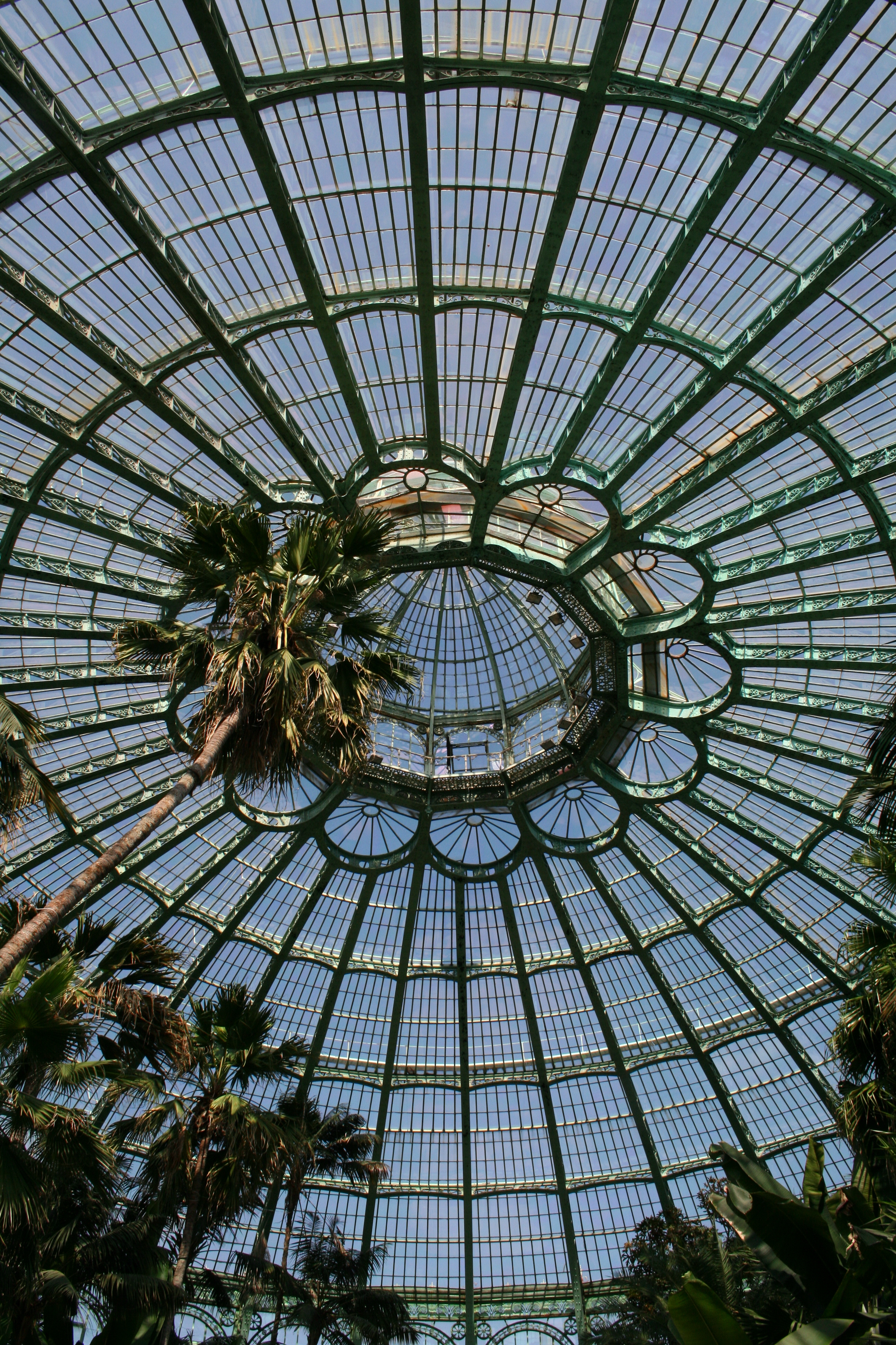
Street view is an online tool that was launched by Google. Although it was launched by Google in 2007, Google street view Brussels arrived a little later. Its primary purpose is to complete the existing tool: Google Map as well as Google Earth. In fact, it is a virtual navigation service. The principle is very simple. In a few clicks, you can see the streets of Brussels and navigate them from your PC. And this even a 360 degree imagery The tool works just as well in the center of Brussels as in the other districts. You can even see the virtual exploration of the Grand-Place and even Manneken Pis
Today Google also has the application also called "Street View"
The History of Google's Mapping Project
Do you find the concept of Google Street view completely crazy? You wonder how he could see daylight? Here is the story of the mythical "Google Street View". With it, you'll discover how a simple mapping project gave birth to one of Google's most popular features.
We have to go back to 2004. That's when Google decided to map the whole world by sending cars equipped with cameras around the world, and started taking pictures of the outside. Street, houses, highway, buildings… Anything they could find Google would take a picture of it… In short, a daunting task, but Google was determined to do it.
Obviously, in the beginning, Google encountered some obstacles. Many people complained (that their houses were photographed without their consent). Some have even sued Google. However, Google managed to overcome these obstacles with two tricks:
- Blur faces and license plates of cars.
- Leave the opportunity to cheat your own home.
So Google continued to map the whole world, gradually adding new features.
- In 2007,, Google Street View, which allowed users to view 360 degree panoramic images from any street around the world. People loved this feature.
- In 2009,, google trike, a miniature version of Google's car equipped with a camera. The Trike could get to places cars couldn't go, like parks, hiking trails, and stadiums. Google even sent the Trike to places like Antarctica and the Great Barrier Reef!
- In 2012,, Google Trekker, a backpack equipped with a 360-degree camera that allowed people to map places inaccessible by car or Trike. It was therefore possible to map remote places such as Mount Everest, the Grand-Place and even inside the Atomium in Brussels !
 Unsplash Leio McLaren")
Today, Google Street View has become a must-have feature for Google Maps users. People can plan their routes using Street View to see exactly what their destination looks like.
Ultimately, the story of Google Street View is a story of determination, innovation and humor. Who would have thought that a simple mapping idea could become one of Google's most popular features?
How Google films the streets of Brussels?
 Unsplash Suzy Brooks")
Thanks to a car equipped with cameras, Google drives through the streets of Brussels. With the help of software processing the images, the whole gives an impression of continuity. At first, only a few cities in the USA were available. Quickly, Google street view arrived in Belgium, France, Spain, Italy, etc.
You wonder how this project and this mapping technology could be useful to you?
- Are you going to rent a furnished apartment from abroad? Do not hesitate to see with Street View Car surroundings before signing?
- Are you going to buy an apartment in Brussels? Look at the was of the roof of your house on Google Street
- Are you going to live in Brussels soon? Visit the neighborhoods in advance as well as the panoramic photographs of the surroundings
How to take the virtual tour of the streets of Brussels?
Thanks to pegman, the small orange character symbolizing the user's position on the map, it is possible to move from street to street. The name Pegman originates from its shape of a clothespin (Also called 'clothes peg' in English).
Nothing is easier than to move from street to street in Brussels thanks to the street view:
- Open Google Earth on your computer, or go to Google Street View
- Search for a place or click on it.
- At the bottom of the page, click Pegman.
- Select a highlighted location.